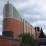
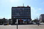
Lehmkuhle (Bottrop)
Ort im Vest RecklinghausenOrtsteil von Bottrop

Lehmkuhle ist einer von 17 Stadtteilen der kreisfreien Stadt Bottrop.
Auszug des Wikipedia-Artikels Lehmkuhle (Bottrop) (Lizenz: CC BY-SA 3.0, Autoren, Bildmaterial).Lehmkuhle (Bottrop)
Südring, Bottrop
Geographische Koordinaten (GPS) Adresse In der Umgebung Auf Karte anzeigen
Geographische Koordinaten (GPS)
| Breitengrad | Längengrad |
|---|---|
| N 51.512031 ° | E 6.933458 ° |
Adresse
Südring 4
46242 Bottrop
Nordrhein-Westfalen, Deutschland
Bei Google Maps öffnen


